
YBASIN
YBASIN: Yampa Basin Atmosphere and Soil Moisture Integrated Network
Tracking snow, soil, and change across the Yampa River Basin.
Soil moisture data is essential to understanding water availability in snowmelt-driven watersheds like the Yampa Basin. The Yampa Basin Atmosphere and Soil Moisture Integrated Network (YBASIN) collects real-time, place-based climate and hydrologic data to help communities, land managers, and researchers better prepare for a drier and less predictable water future.
For more information about the project, or to explore partnership opportunities, contact:
Sally Cariveau
sally.cariveau@westernresilience.org (970) 871-9299 ext. 107
Our Partners

Why Soil Moisture?
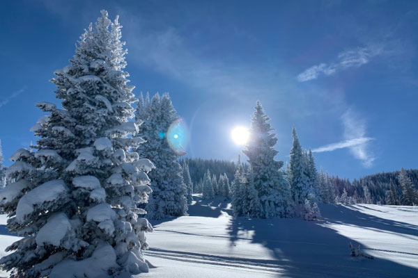
In high-elevation headwaters, soil moisture plays a powerful role in determining how much snowmelt actually reaches rivers and streams. When soils are dry, they act like a sponge absorbing snowmelt before it becomes runoff.
In water year 2021, snowpack in the Yampa Basin was 89% of median, but stream flows dropped to just 30% of average. A major factor? Dry soils.
This relationship between soil moisture, snowpack, and streamflow is being reshaped by:
- Warmer winter temperatures
- Decreased snowpack
- Aridification of soils
- Earlier melt and shorter runoff seasons
By monitoring soil and atmospheric conditions together, YBASIN helps improve forecasting, planning, and resilience.
How the Network Works
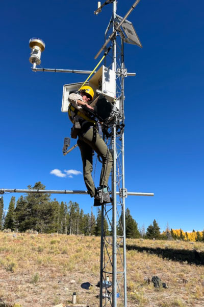
Launched in 2021 through a partnership between Western Resilience Center (formerly YVSC), the Center for Western Weather and Water Extremes, and Colorado Mountain College, YBASIN is a growing network of long-term monitoring stations placed strategically throughout the basin.
These stations collect:
- Soil moisture
- Snow depth
- Temperature
- Precipitation
- Wind and humidity
- Atmospheric pressure
The data supports both near-term forecasting and long-term understanding of climate impacts.
Want the technical details?
View live station data on CW3E’s website
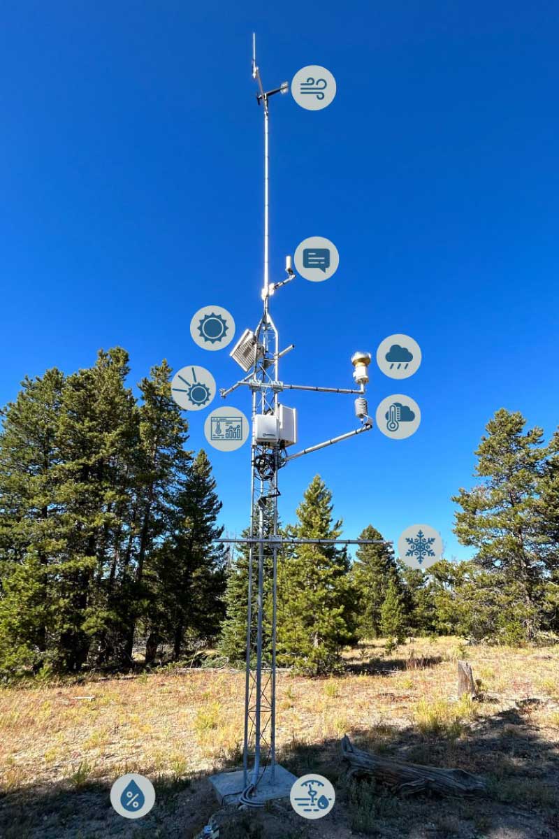
Anemometer
This sensor measures horizontal wind speed and direction at the site

Solar Panel
This solar panel provides electrical power for the station to run
Rain Gauge
This sensor is measuring liquid precipitation (i.e. rainfall)
Soil Moisture and Temperature
These six sensors are buried in the ground and measure the profile of soil’s moisture content and temperature at 5, 10, 15, 20, 50, 100cm depths

Barometer and Datalogger
The barometer is measuring atmospheric pressure and datalogger houses the programming for the station and sensors, converts the data and stores it

Snow Depth
The snow depth sensor is measuring the height or depth of the snowpack

Pyranometer
This sensor is measuring the incoming solar radiation

Communications
The cellular gateway allows the data collected at the station to be transmitted in near real-time through a cellular network
Fuel Temperature and Humidity
These sensors are measuring a proxy for the surrounding fuel temperature and moisture of woody materials
Temperature and Relative Humidity
This sensor is measuring the air temperature and relative humidity
Click image to enlarge
Where the Stations Are
Each station was sited based on local land conditions, stakeholder needs, and climate sensitivity.
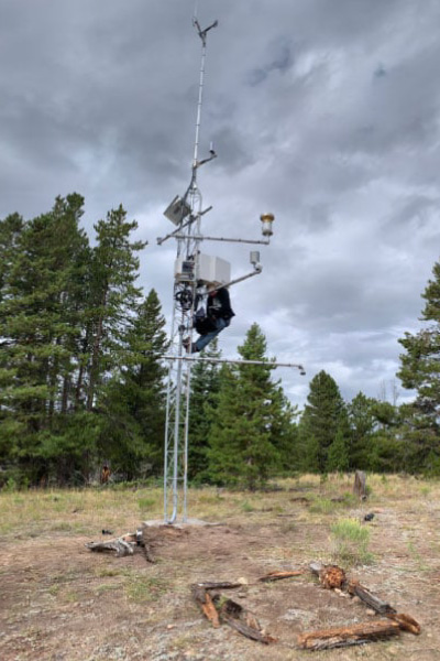
Stagecoach Ski East
Located on private land south of Stagecoach Reservoir
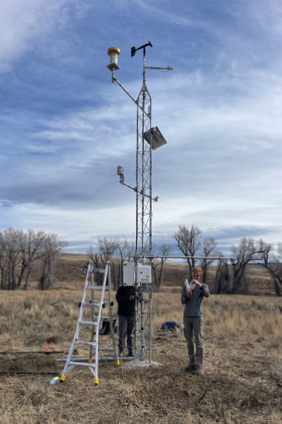
Elkhead Creek
Located upstream from Elkhead Reservoir
Lower Elk
Located upstream from the confluence of the Elk River and Yampa River
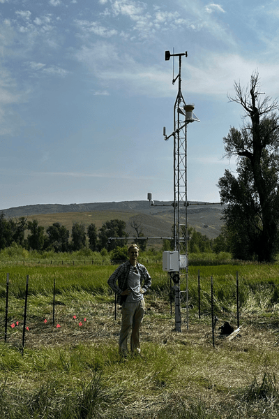
Carpenter Ranch
Located on the Nature Conservancy’s Carpenter Ranch outside of Hayden, Colorado
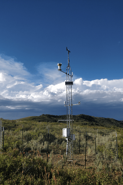
Knott
Located on private property near Oak Creek, Colorado
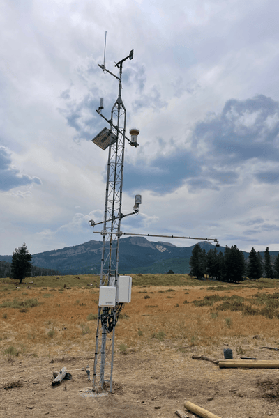
Red Creek
Located on private property south of Steamboat Lake
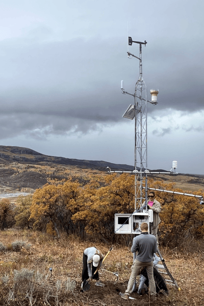
Colorado Mountain College
Located on Colorado Mountain Colleges’ Steamboat Springs campus
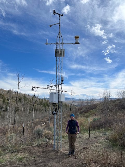
Todd Creek
Located on private property near the Town of Yampa
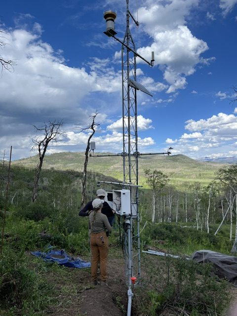
Alpine Zephyr
Located on private property in the Deep Creek area in North Routt.
In the News
YBASIN has been featured in regional stories highlighting its growth, funding, and relevance to water planning.
-
- A climate monitoring station has been installed at CMC
- Two new soil moisture climate monitoring stations add to watershed data
- Climate station installed near Stagecoach Reservoir is first of 25 planned
- Study finds February storm was 6th-wettest since 2000
- Funding expands Yampa Valley soil moisture network amid climate change